[If you’re reading this in email, I recommend following the link above to read it in a web browser. Some of the maps below won’t display correctly in an email. I also recommend reading this on a PC – a large screen makes viewing the maps easier.]
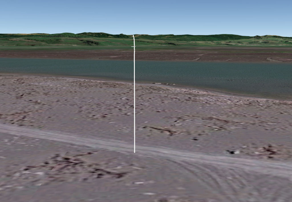
Imagine you’re standing somewhere on the west coast of the United States, the waves of the Pacific Ocean lapping at your feet. You look directly east, along a line of latitude (also known as a parallel). Your view is something like this:

The white line is the line of latitude, stretching all the way across the country. So you start walking straight east along that line. At some point you’ll reach the east coast of the US. Question: what are the chances that you’ll get all the way across the country without running into a building?
Spoiler alert: the answer is zero. No matter what latitude you start at, you will collide with a building at some point. In fact, you’ll run into hundreds as you make your way across the US.
I determined this by revisiting the Microsoft building database, which used a neural network to analyze satellite imagery and generate the shapes of 125 million buildings across this country. I wrote about this in several previous posts. Each building is represented by its “footprint”, the space it takes up on the surface of the Earth (the height of the building is not computed).
I wrote code that effectively draws a series of a lines1thousands of them across the US and looks for any collisions with building footprints. It turns out going coast to coast there is no way to avoid buildings. Even the least busy path has over 500 buildings on it. The most-crowded has over 2000. If you were hoping to have a leisurely stroll across the country2ignoring the lakes, cliffs, and mountains you’d have to deal with without bashing into man-made walls, forget it. Here is a typical path, at latitude 35.36. Buildings that the path crosses are highlighted in red – you can zoom in all the way to look at each one. (On a PC, fullscreen mode (button on upper right) is recommended.)
If your path starts far enough north (roughly, Oregon or Washington), you’ll hit the border with Canada before you reach the Atlantic Ocean. The Canadian border starts off at a constant 49 degree latitude, but then angles down southeast-ish through the Great Lakes. These paths are shorter than the ones that go all the way across the continent, but they still run into plenty of buildings along the way.
It is possible to walk across some states without hitting a building. Specifically, the “wide open” states like Nevada, Utah, South Dakota, and so on. Even California has west-east paths that avoid buildings (more on that later). But once you get to the states in the Midwest, South, and East, there’s no clean way across. They are just too jam-packed with cities and towns.
Despite the fact that paths across the US bisect a large number buildings, there are still vast swaths of the country without many man-made structures. So you can get some pretty long stretches with no buildings. The largest gap between buildings that I could find happens at latitude 34.03. That parallel starts in Malibu, crosses Los Angeles, and continues into San Bernardino county. It leaves civilized California on the eastern edge of Yucaipa (San Bernardino county). At this point it has bisected nearly 1400 buildings. But then it goes on a long, building-less trek: across the rest of California, then Arizona and New Mexico, and into Texas. Only after getting to the farm fields of north of Lubbock, Texas, do you run into a building. Here’s the 855-mile path, starting from the house in Yucaipa. Zoom out and pan over (a loooong way) to the farm building in Texas.
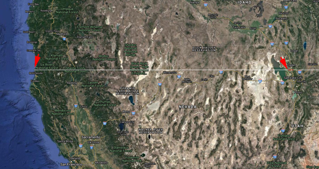
California has a lot of buildings, but it has its fair share of open space too. There are a small number of paths across the state that don’t intersect buildings. In fact, one goes all the way across California, then Nevada, then most of the way across Utah, without hitting a building:

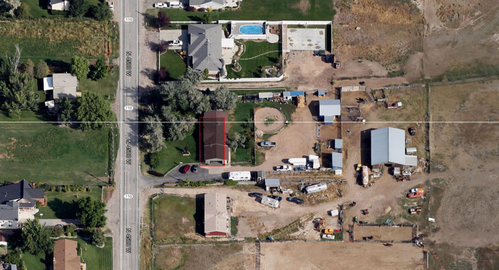
before finally plowing into a house near West Point, Utah (outside of Salt Lake City):

So, no buildings for the first 623.37 miles of your journey. But on the rest of your trip to the east coast, you’ll hit 1493 buildings. There’s just no avoiding them.
What about going the other direction? What if you start at the Canadian border and head south – is there a path that avoids all buildings? Glad you asked – that’s the topic next time.

What a neat idea! What made you think of it?
I’m not sure. I was driving around on our recent trip to Point Reyes, and I just visualized all of the building footprints on the map. The idea just jumped into my head.